Emergence
The origins of the water lines.
Origin
The lines within the World Heritage Site the Dutch Water Defence Lines have a long history. There were water lines as far back as the 16th century, but construction of the Dutch Water Defence Lines began in 1815. A unique structure in the world back then, and to this day.
The Netherlands and water go hand in hand. For centuries, the Dutch have worked against and with water. With dikes and locks, they made land habitable. However, the same dikes and locks could also be cleverly used to flood land to stop the enemy. An extraordinary way of defending the land with water as an ally. To this day, this is still of great value to Dutch history.
Netherlands waterland
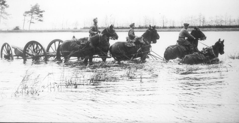
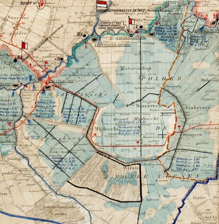
The Dutch have been using water to their advantage since the Middle Ages. Initially to make land suitable for land and housing. But later the water was also used as an ally, as a military defence strategy. Large areas of land were flooded. This created a stretch of water that was too deep for men and horses and too shallow for boats.
Inspired by the 16th-century water lines in other parts of the Netherlands such as North Brabant, Friesland and parts of Groningen, the New Dutch Waterline and the Defence Line of Amsterdam came into being. Nowhere in the world were water and forts used together on such a large scale to defend a country. This form of defence is so unique that together these lines now form one World Heritage Site.
The construction of the lines
From 1815 to 1940, the Netherlands built the Dutch Water Defence Lines. So, over a total of 125 years! Existing strategic sites were included in the line, such as the two medieval castles, Muiderslot and Slot Loevestein, and six fortified towns that already used water to keep the enemy out of their walls in the 16th and 17th centuries.
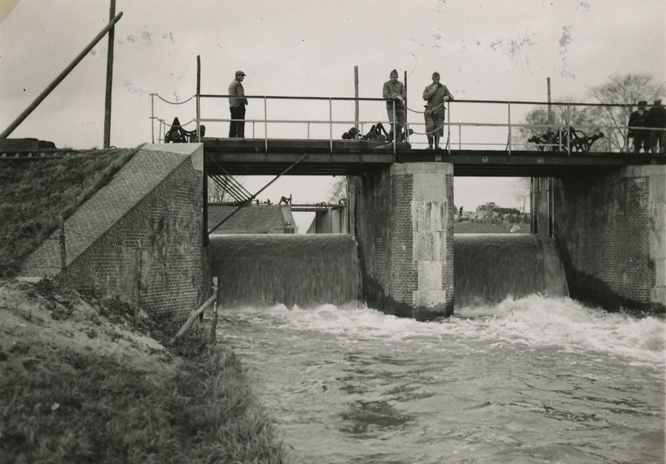
Together with the many defences, these places form a 200-kilometre-long chain. Connected by over a thousand military and hydraulic objects: inundation channels, locks, dikes and quays, forts and other military structures. Years were spent building the line and adapting the defences to the new development in warfare.
Working with height differences
The Netherlands seems flat, yet it also has small differences in height such as the polders that were once drained. Through a clever system of all kinds of water works such as locks, dikes and canals, these polders could be flooded again. This created a kind of wall of wide strips of land that were flooded. Too deep for men and horses, too shallow for boats.
In this way, the western part of the country, the economic and administrative heart of the Netherlands, was protected. As additional protection, the Defence Line of Amsterdam was constructed around Amsterdam. This is also called the National Redoubt, the last refuge for king, government and military staff.
From Brick to Concrete
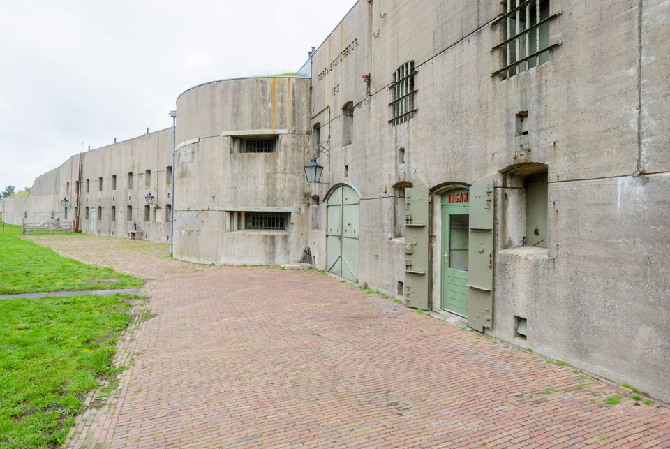
In 1885, shortly after construction of the Defence Line of Amsterdam started, the devastating high explosive shell was invented. Brick as the fort's main building material was no longer safe enough to protect the men inside. Concrete was needed. Consequently, all but one of the forts in the Defence Line of Amsterdam are made of concrete. Even in the New Dutch Waterline, from then on, new structures were built in concrete and brick buildings were protected with extra-thick layers of soil.
The early use of unreinforced concrete makes the forts of great value in European architectural history. The lines show the transition from brick forts to steel and concrete structures. Unique in Europe and part of the UNESCO World Heritage Site.